Description
TECH SPECS
The term ‘Array’ is widely used in the marketplace for almost any kind of multiple antenna configuration, and this is causing some confusion. There is a growing need for being able to distinguish between systems capable of real 3D data acquisition and systems merely suitable for multiple antenna operation and MALÅ Geoscience therefore suggests the following definition of the term ‘Array’
| The individual radar channel spacing should be less than one quarter of the centre wavelength in the media under investigation. |
| The individual radar channel spacing should be less than one quarter of the centre wavelength in the media under investigation. |
| All included antennas in a 3D Array, need to produce a ‘near-identical’ response (signature). |
| The array system should have a positioning device/sub-system providing an accuracy of at least half the channel spacing, over the whole area of investigation. |

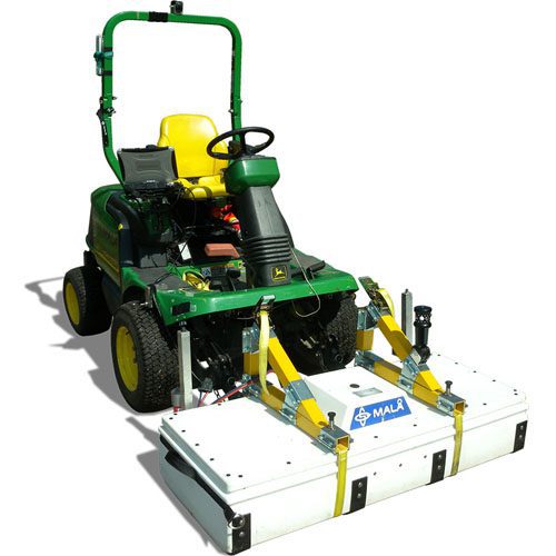
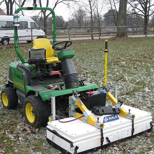
MALA MIRA System: Fast and accurate 3D GPR solution
The MALA MIRA system is appreciated world-wide for being the most cost-efficient GPR solution for large scale mapping projects. A MALA MIRA system can typically collect 10,000+ square meters of data per day and the software is designed to efficiently handle huge data sets. Whether clients are mapping complex underground infrastructure or subtle 3D geological features across large areas, the MALA MIRA offers a cost-efficient solution for achieving answers fast and accurate.
MALA Imaging Radar Array: Productivity on steroids!
Collecting more data in less time than any other GPR system
- The only fully integrated 3D GPR solution in the market
- Providing the highest resolution and detail of data
- Uses ground coupled antennas for maximum near surface resolution
- Dedicated software designed specifically for MIRA 3D Array data
- The only 3D Array system available conforming to Array criteria
- Proven technology


Utility Locating

Utility Mapping

Bridge Deck Evaluation

Runway Evaluation

Archaeological Investigations

Cemetery Mapping

Anthropological Remains Location

Ancient Building and Foundation Location

Tree Trunk and Root assessment

Buried Objects Location (evidence, landmines, unexploded ordinance, IED, ammunition)

Tunnel Detection

Archaeological Research

MALA MIRASoft Software
Want to know more?
Write to us at [email protected] or call us on
987 029 6354 or just click here to send us your query.


